Geographic Information Systems (GIS) Specialization | Geospatial and Environmental Analysis
3 Geospatial and Environmental Analysis
3.1 Week1
Lesson 1:Geospatial Analysis
- Clip Tool
- Erase Tool
- Identity Tool
- Buffer and Near Tool
- Merge and Dissolve Tool
3.2 Week2
4 Imagery, Automation, and Applications
Week1
Lesson1:Imagery
The Nature of Geographic Information https://www.e-education.psu.edu/natureofgeoinfo/node/1879
Lesson2:Raster Caculation
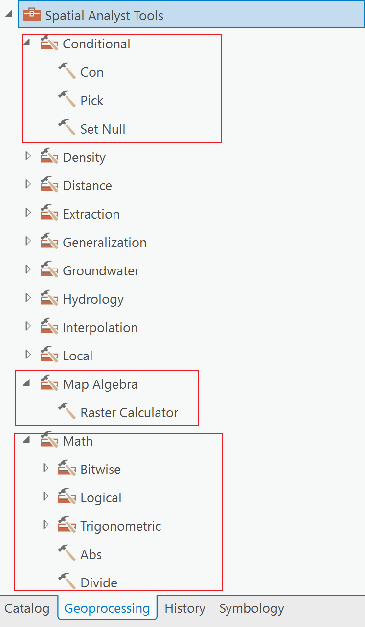
There isn’t a way to output Null values with Con, so Set Null provides us with similar capabilities to Con, but in a way that outputs Null values. For more information, see videos Map Algebra/Raster Calculator/Overlaying Rasters and Con/Set Null.

Week2
Lesson 3
- 字段计算器Field Calculation,Caculcate Field
Code Block可以在里边写Python函数,然后再表达式Expression里调用函数def
Week3
Lesson 5
- Feature Dataset 要素数据集


 浙公网安备 33010602011771号