30米SRTM DEM下载使用
1.下载网址为:http://gdex.cr.usgs.gov/gdex/(需要FQ)。
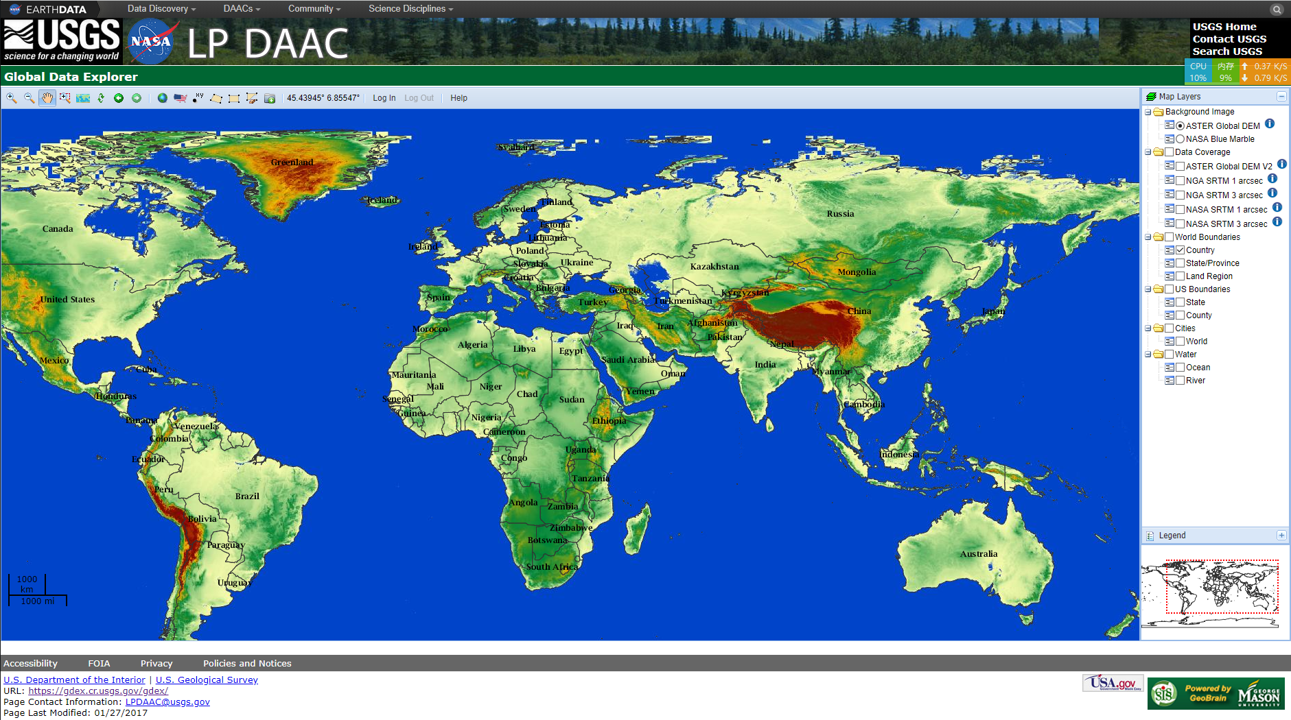
Step 1 : Define the area of interest by specifying location name, selecting ![]() or
or ![]() , click and drag a rectangle
, click and drag a rectangle ![]() or polygon
or polygon ![]() , or input coordinates by selecting
, or input coordinates by selecting ![]() .
.
 or
or  , click and drag a rectangle
  or polygon
  , or input coordinates by selecting
  .
.Step 2 : Click "Log In" and sign on using your Reverb/ECHO/URS account.
Step 3 : Click ![Download]() , specify "Product", "Format", "Projection", and other output settings, then submit the request.
, specify "Product", "Format", "Projection", and other output settings, then submit the request.
 , specify "Product", "Format", "Projection", and other output settings, then submit the request.
Step 4 : Preview and download ![Save]() the output data.
the output data.
 the output data.
2.中国范围分省下载链接:https://pan.baidu.com/s/1caljTvDQ437h7w38AxrNjw 密码:6flo
(感谢无私网友提供的资源)
3.下载的30米SRTM DEM文件后缀为.hgt,如果用SARscape进行INSAR处理,参照http://blog.sina.com.cn/s/blog_764b1e9d0102xta6.html进行转换格式和拼接。
3.1在ENVI中,File->open as->Digital Elevation->SRTM DEM,打开下载好的若干个DEM文件。
3.2用ENVI的Mosaicking进行镶嵌:/Mosaicking/Seamless Mosaic,在镶嵌工具面板点击Add Scane,选中打开的dem数据,点击Finish。
镶嵌得到的结果是ENVI标准格式的数据。
3.3在SARscape中,/Import Data/ENVI Format/Original ENVI Format,在Input File面板选择输入数据,切换到Parameters面板,Data Unit选择DEM(经测试,此处的类型对结果没有影响),切换到Ouput Files面板,其他参数保持默认(输入输出路径必须为英文路径),点击Exec,得到_bil后缀的结果。
因为SARscape输出时默认的文件名不能改,SARscape在读取DEM文件的时候默认读取_dem文件,所以将上一步数据导入得到的结果,手动将文件名改为_dem文件即可。

 浙公网安备 33010602011771号