下载DEM数据,发现主要有两种:SRTM和ASTER
ASTER GDEM is considered a more accurate representation than the SRTM elevation model in rugged mountainous terrain. But you should really take a look for yourself.
对比看好像ASTER要好点?
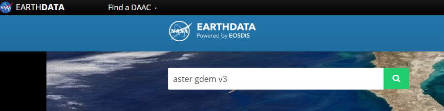
网址:https://earthdata.nasa.gov/
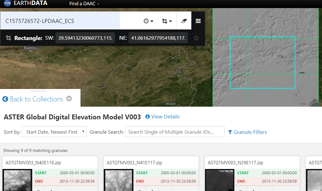
选这个:

进来之后搜索:

然后选择地区直接下载即可: