OpenScales+Geoserver搭建轻量级WebGIS
Geoserver的安装方式请看我的另外一篇文章《Ubuntu Server 9.10 安装 Geoserver2.0 》
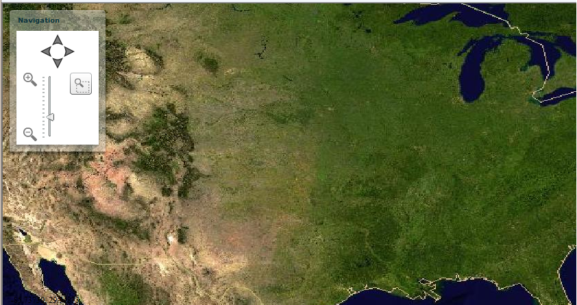
下面讲下怎么使用OpenScales
1、下载OpenScales包
2、建立Flex工程,将下载的swc文件复制到libs目录下
3、Flex应用程序代码如下:
<?xml version="1.0" encoding="utf-8"?>
<mx:Application xmlns:mx="http://www.adobe.com/2006/mxml"
layout="absolute">
<mx:Canvas xmlns="*"
xmlns:mx="http://www.adobe.com/2006/mxml"
xmlns:os="http://openscales.org"
creationComplete="initMap();"
width="100%"
height="100%">
<os:Map id="fxmap"
height="100%"
width="100%">
<os:WMS name="Germany"
url="http://172.16.1.142:8180/geoserver/wms?request=GetMap"
layers="nurc:Img_Sample"
width="660"
height="330"
format="image/jpeg"
isBaseLayer="true"/>
<os:Spinner id="spinner"
x="{width / 2}"
y="{height / 2}"/>
<os:MousePosition x="10"
y="{height-20}"
displayProjection="EPSG:4326"/>
<os:DragHandler/>
<os:WheelHandler/>
</os:Map>
<os:ControlPanel x="10"
y="10"
width="140"
title="Navigation">
<os:PanComponent map="{map}"/>
<mx:HBox width="100%"
paddingLeft="5"
paddingRight="5">
<os:ZoomComponent map="{map}"/>
<mx:Spacer width="100%"/>
<os:ZoomBoxComponent map="{map}"
width="32"
height="32"/>
</mx:HBox>
</os:ControlPanel>
<mx:Script>
<![CDATA[
import org.openscales.core.Map;
import org.openscales.core.Trace;
[Bindable]
private var map:Map=null;
[Bindable]
public var displayTrace:Boolean=false;
[Bindable]
public var displayFirebugTrace:Boolean=false;
private function initMap():void
{
Trace.useFireBugConsole=displayFirebugTrace;
map=fxmap.map;
}
]]>
</mx:Script>
</mx:Canvas>
</mx:Application>
4、运行即可看到效果